Category: Mapping
-

Conductive Underground Services Location with EMF and Impulse Radar Raptor 45 Array GPR
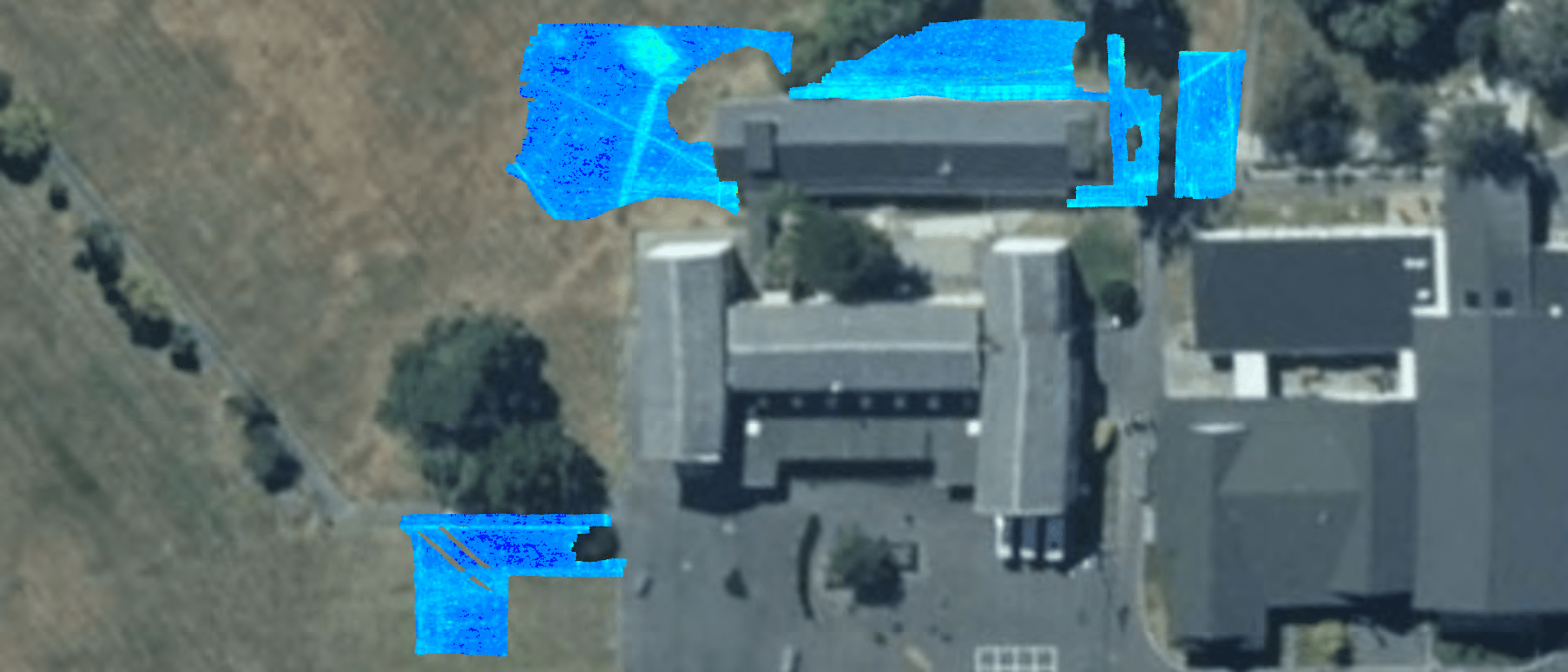
Utility Archelogy A client was refurbishing a local school by clearing the site and then requested help to find what was remaining after the building were demolished. We EMF located the conductive underground services that could find, which was limited by the building demolition work still currently taking place. Whilst avoiding the heavy machinery, site…
-

Impulse Radar Raptor45 Array GPR: AC Watermain Location Designation
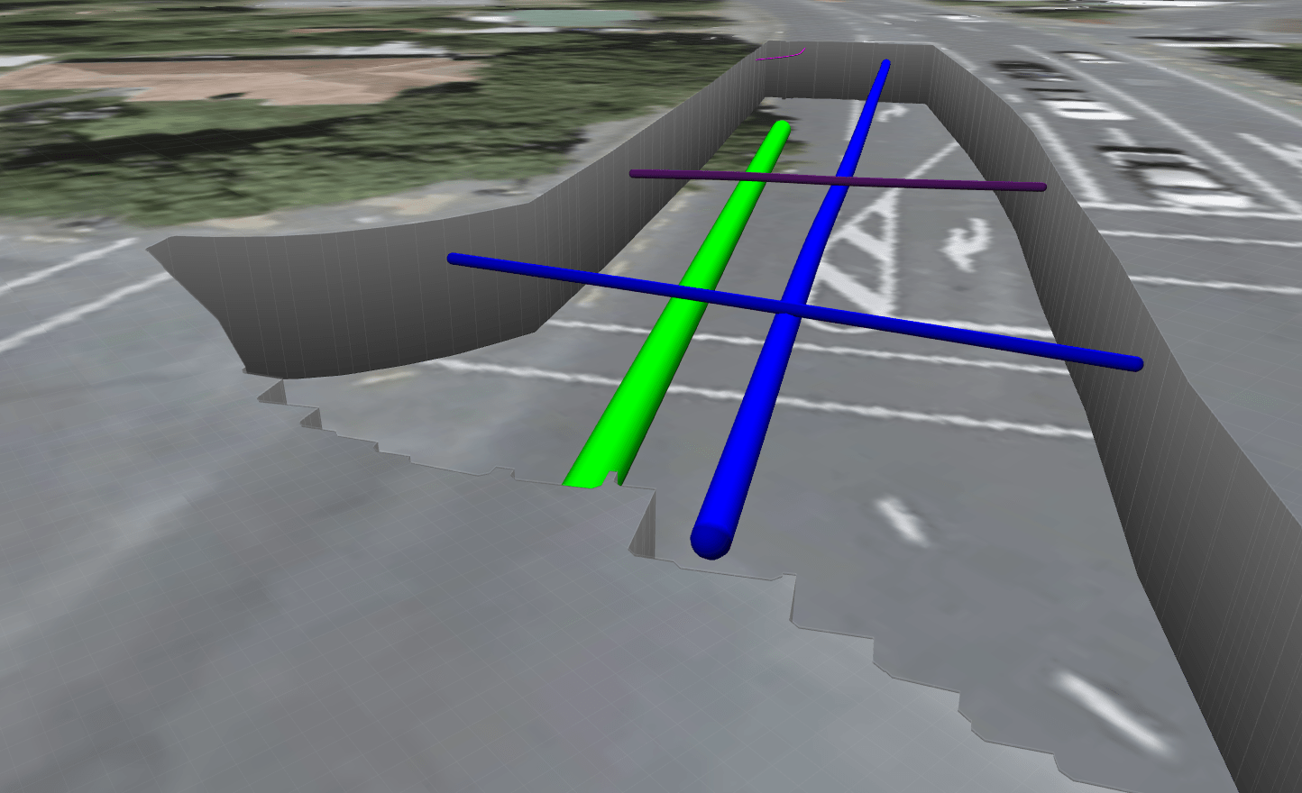
Works to enable the installation of a watermain isolation valve in preparation of the continued construction of a 1650mm stormwater by others Scanned area with our Impulse Radar Raptor45 Array GPR to designate the location of the 375mm AC watermain. Post processing the data and then staking it out via GPS put us right on…
-

Challenges and Success: GPR Project in Lihir Island with LoKate Services and Bigman Geophysical
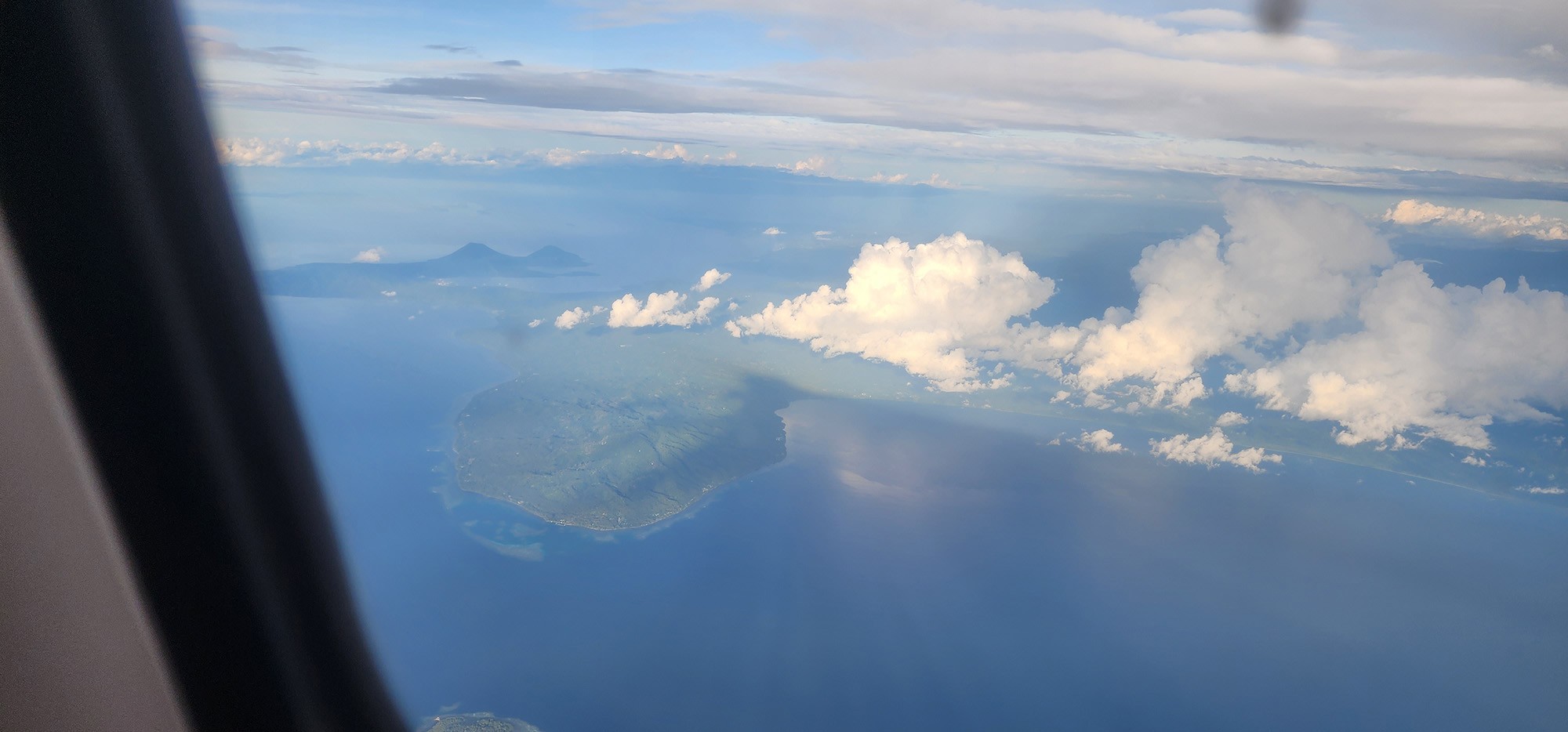
Trip to Lihir Island Papua New Guinea for Bigman Geophysical/LoKate Services co-lab 4 hours on this from Brisbane to Lihir PNG! Scenery on the flight was fantastic. The weather on day one… The Missionary. LoKate Services were requested to go to Lihir Island at the beginning of June this year. Lihir is approximately 900km NW…
-

Unrecorded Buried Chamber: Implications for Construction Alignment
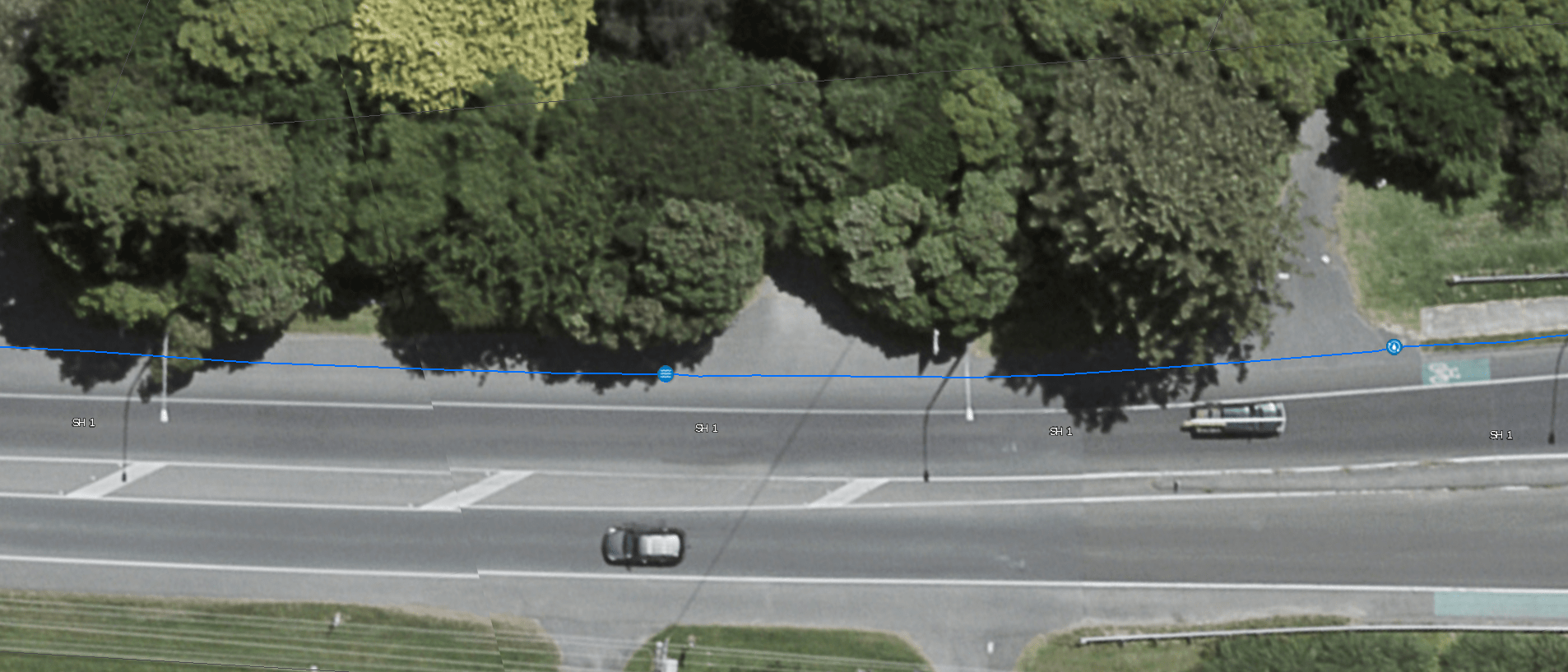
Design for new stormwater hits reality when steel bulk water main found directly in scope. Found a buried chamber/MH right in cut alignment which is not shown on records. Scanned area with an Impulse Radar Raptor45 Array GPR to check EMF locate. Picked out redundant telephony cables and ducts crossing the scope of works that…