
Utility Archelogy
A client was refurbishing a local school by clearing the site and then requested help to find what was remaining after the building were demolished.
We EMF located the conductive underground services that could find, which was limited by the building demolition work still currently taking place.
Whilst avoiding the heavy machinery, site debris and site fencing, we scanned the site in traversable areas with our Impulse radar Raptor 45 Array GPR
Post Processing data.
After the conductive underground features were located as much as possible, we then mapped this into Esri Field maps with a tethered GNSS RTK receiver.
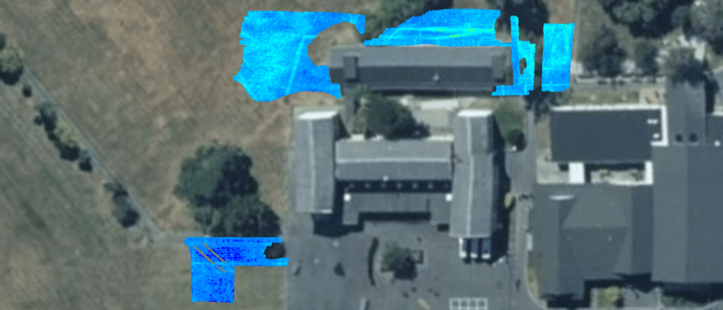
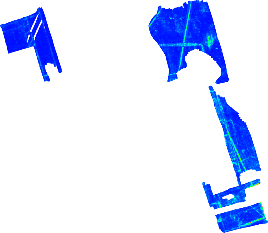
When the Array GPR was post processed in the Condor software, a GeoTiff was exported as a thick slice.
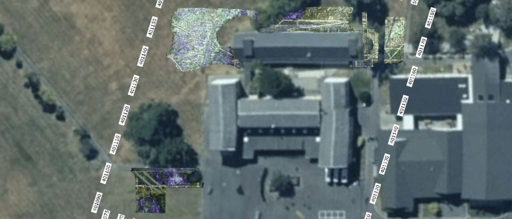
This was imported into Esri ArcGIS Pro and the designated line features as seen in the GeoTiff when drawn into our AGOL datasets.
This enables the data export into other spatial environments as per the clients’ requirements.
It also allows the “stake out” of the underground features as interpreted from the Array GPR data via either GNSS or Total station.

Second Opinion
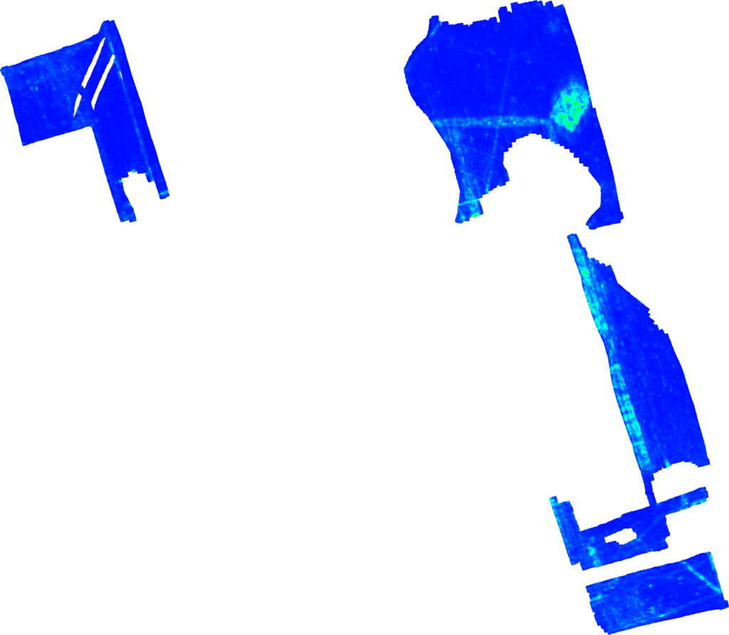
We also post-processed the Array GPR in Geolitix.com
This assists with the further refinement of the Array GPR data and enables a public sharing platform of the data through a web browser.
The images below are exports out of Geolitix.com at approx. 10cm depth intervals from 20cm through down to 90cm from the topo surface.
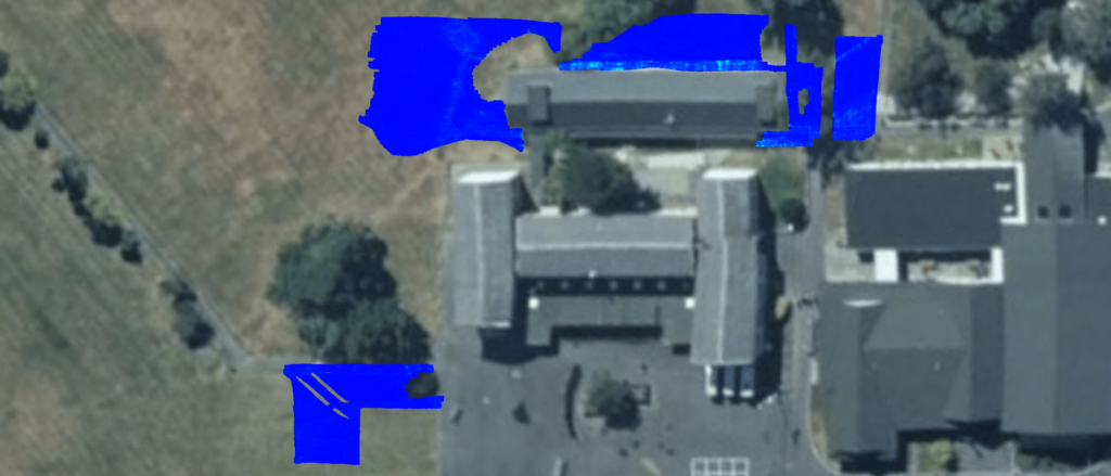

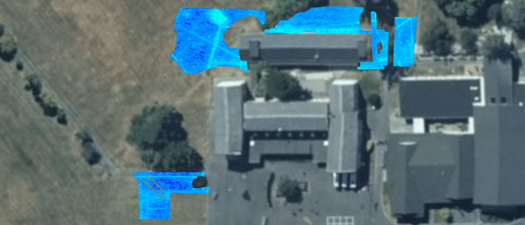
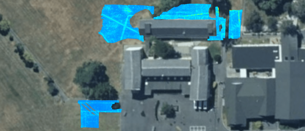


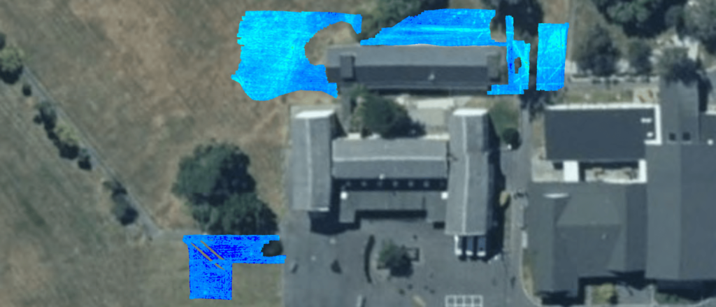
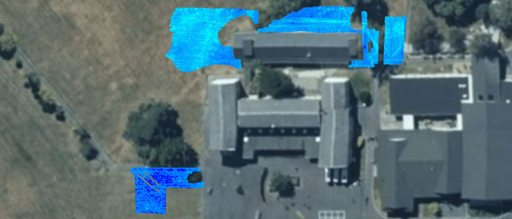
The Rasters below show an example of the spatial PNG exports from Geolitix.com

Leave a Reply