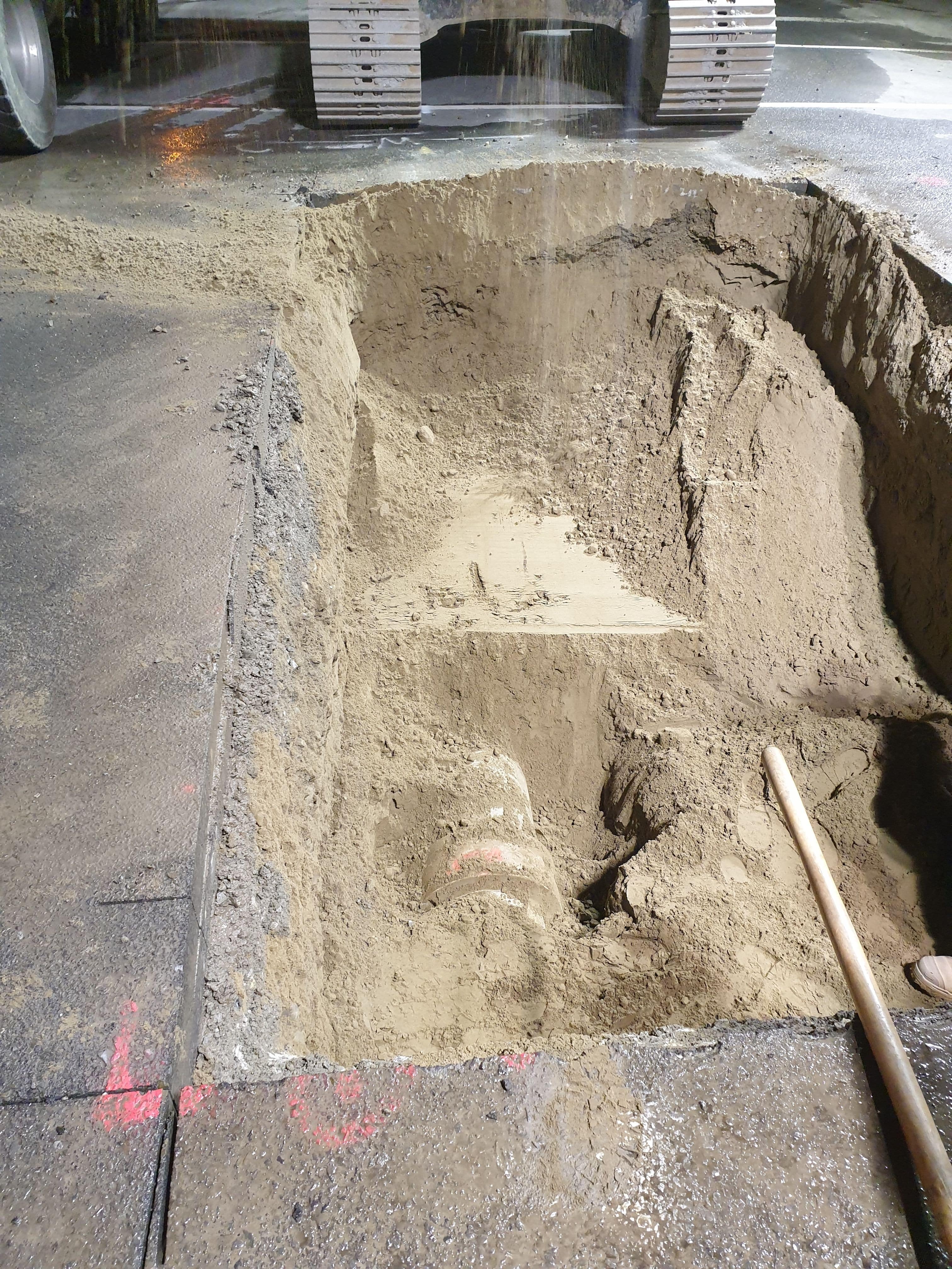
Works to enable the installation of a watermain isolation valve in preparation of the continued construction of a 1650mm stormwater by others
Scanned area with our Impulse Radar Raptor45 Array GPR to designate the location of the 375mm AC watermain.
Post processing the data and then staking it out via GPS put us right on target.
Found a few other unknown in the process…


Onsite data processing.
Impulse Radar Raptor-45 onsite post processing of data.
Export overview out of the Impulse Radar Condor software.
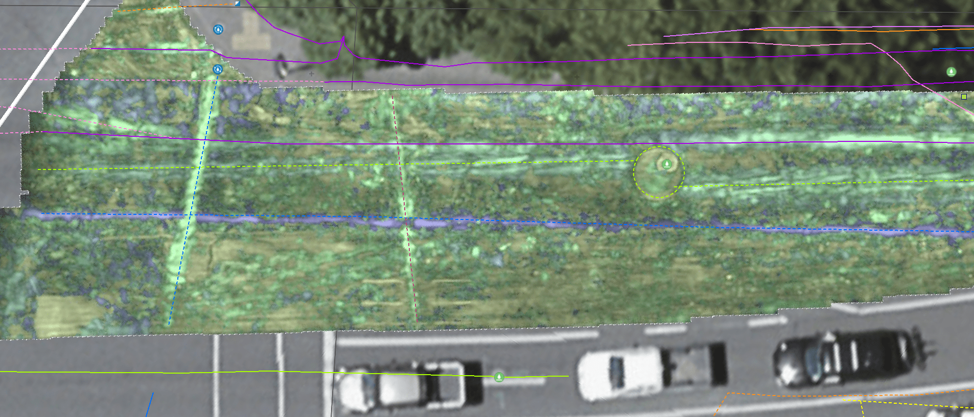
Export overview out of the Impulse Radar Condor software with council 3waters GIS overlay

Export overview out of the Impulse Radar Condor software of the underground feature interruptions.
These were exported out of the Condor software as dxf and staked out onsite via GNSS to compare to EMF located features and to designate the location of the 375mm AC water main so it could be exposed for construction work.

Other side of road…
Exported Geotiff out of Condor software

with overlay showing as per council GIS of water.

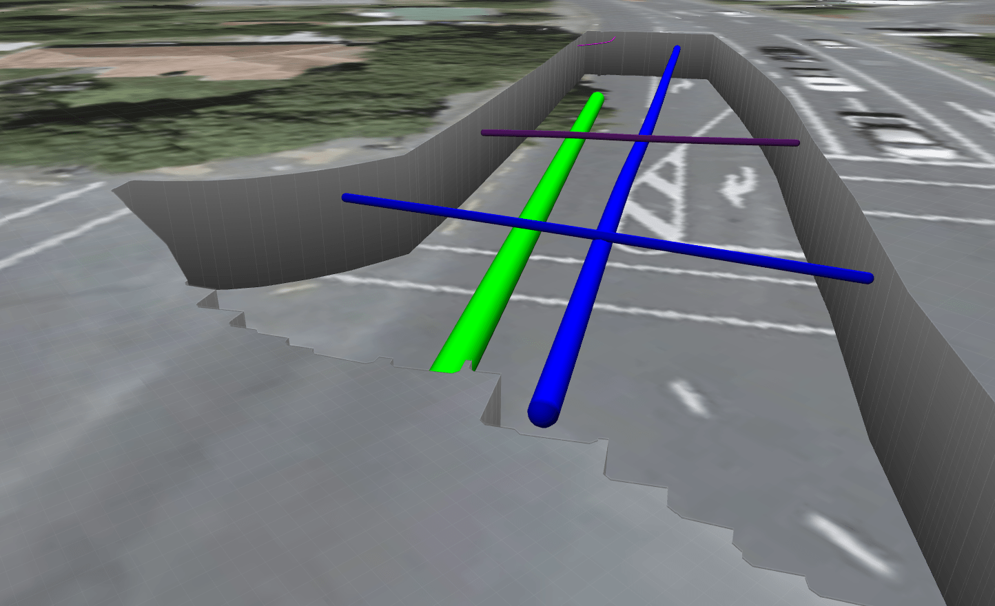
Water as per data interpretations in the Impulse Radar Condor software.

Combined with EMF locate mapping and other data interpretations with the Condor software.

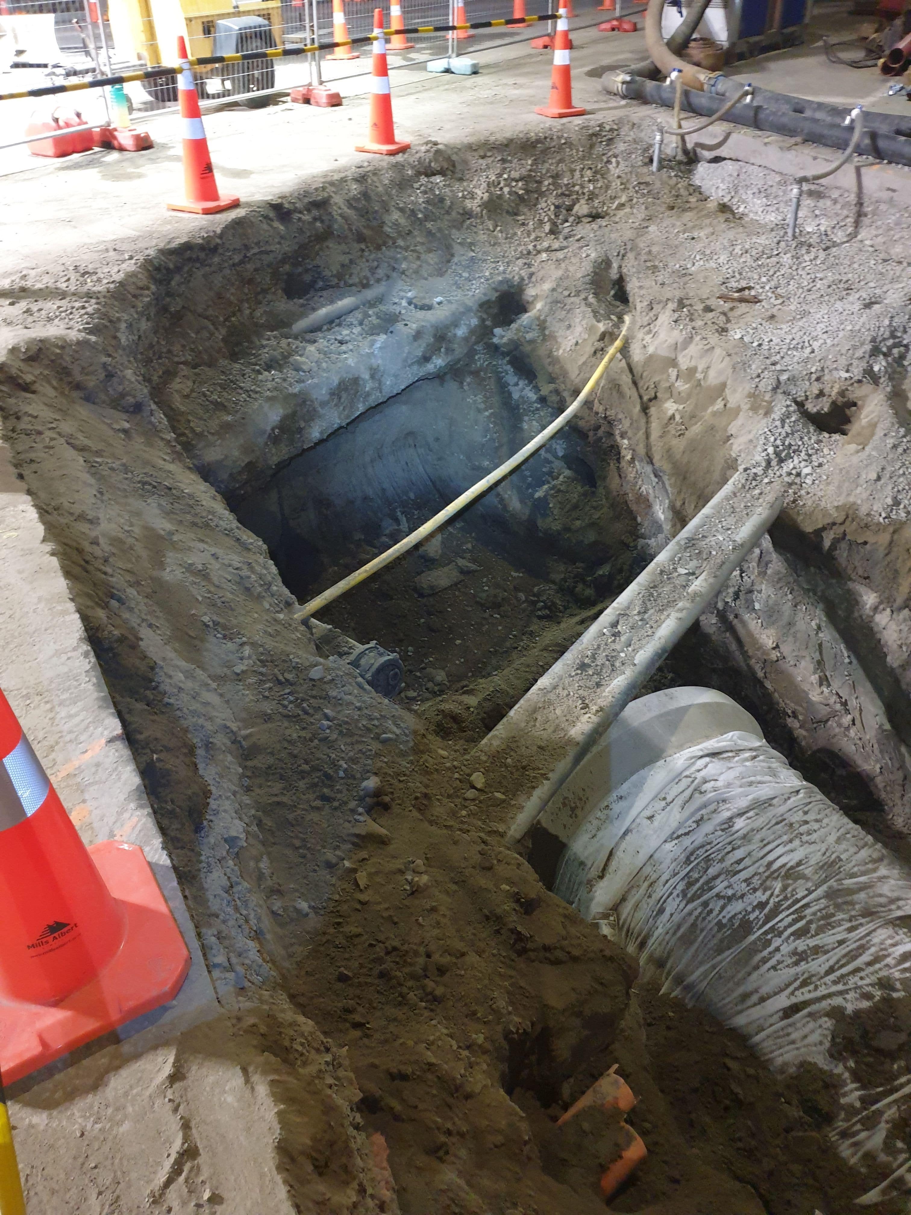
Exposed services in Rimu Road show the extent of works.
Note the Chorus duct bank encased in concrete with additional Chorus ducts laid on top of the monolith block at the top end of the excavation.


Leave a Reply